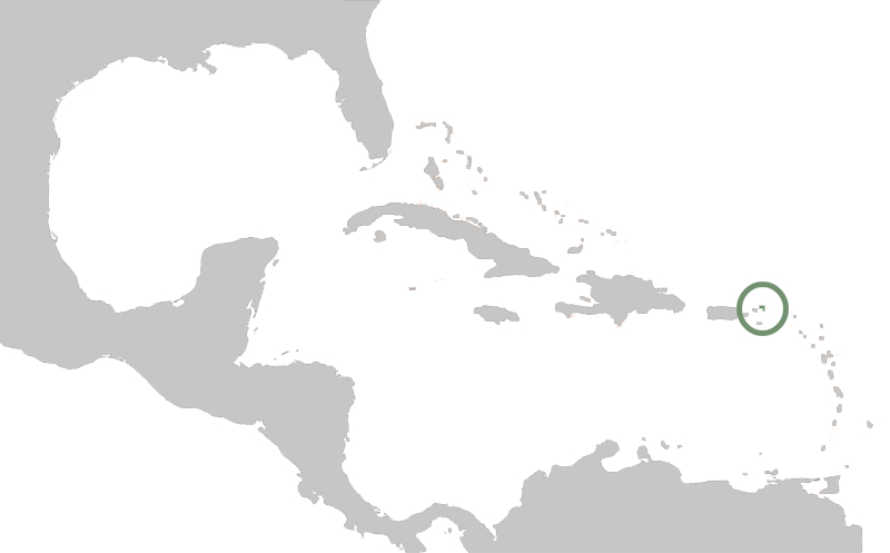
File:US Virgin map location.jpg
From OpenMedia
Revision as of 21:54, 6 October 2010 by Bernhard Zelazny (Talk | contribs) (This is a modified image from Wikimedia Commons. The original image is:<br/> [http://commons.wikimedia.org/wiki/File:Karte_Karibik_Inseln.png File:Karte Karibik Inseln.png]<br/> Author: [http://commons.wikimedia.org/wiki/User:Raymond Raimond Spekking]<br/)
US_Virgin_map_location.jpg (800 × 497 pixels, file size: 62 KB, MIME type: image/jpeg)
This is a modified image from Wikimedia Commons. The original image is:
File:Karte Karibik Inseln.png
Author: Raimond Spekking
The modification is released under the Creative Commons Attribution 3.0 Unported license.
Bernhard Zelazny 22:54, 6 October 2010 (CEST)
File history
Click on a date/time to view the file as it appeared at that time.
| Date/Time | Thumbnail | Dimensions | User | Comment | |
|---|---|---|---|---|---|
| current | 21:54, 6 October 2010 |  | 800 × 497 (62 KB) | Bernhard Zelazny (Talk | contribs) | This is a modified image from Wikimedia Commons. The original image is:<br/> [http://commons.wikimedia.org/wiki/File:Karte_Karibik_Inseln.png File:Karte Karibik Inseln.png]<br/> Author: [http://commons.wikimedia.org/wiki/User:Raymond Raimond Spekking]<br/ |
- You cannot overwrite this file.
File usage
There are no pages that link to this file.
Global file usage
The following other wikis use this file:
- Usage on wiki.pestinfo.org
